For convenience our customers we created stock in the Germany. It is possible to order our products by B.E.S.T Elektronik GmbH
more details>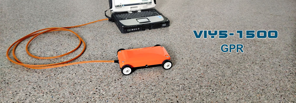
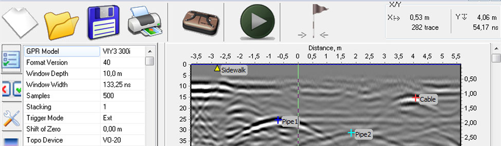
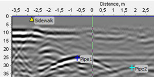
Synchro program is designed for: - GPR control - GPR data imaging - Processing (filtering) of sounding result
more details>
For convenience our customers we created stock in the Germany. It is possible to order our products by B.E.S.T Elektronik GmbH
more details>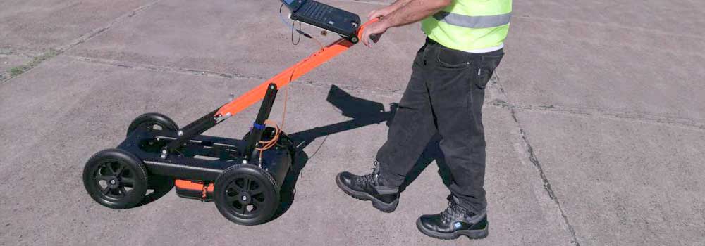
The VIY5-600 Ground Penetrating Radar (GPR) can be used for location and analysis of underground objects using electromagnetic pulse radiation, up to 3,5 meters depth. The VIY5-600 GPR is suitable for searching of both metallic and dielectric objects (utilities, voids, fondation constructions, etc.).
more details>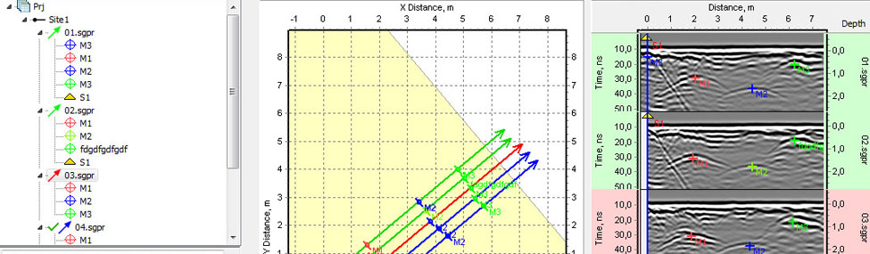
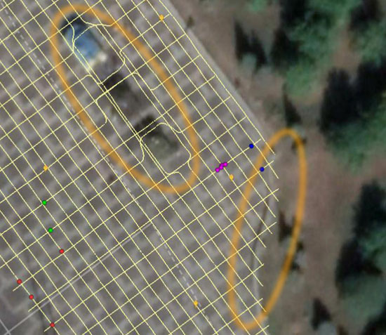
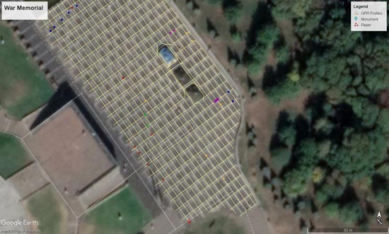
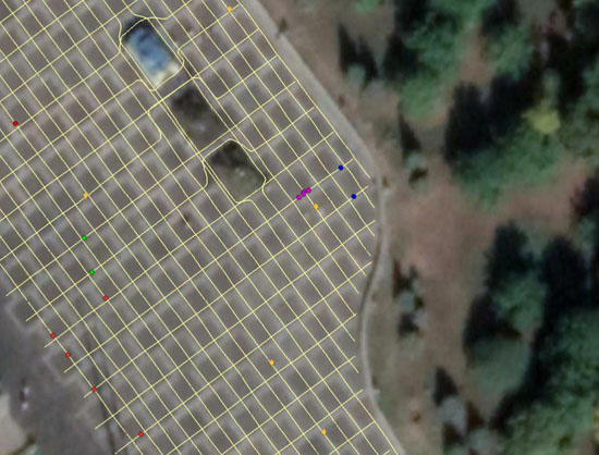
Planner program is designed for: Imaging of GPR profiles on the location plan GPR profiles position editing Objects? markers editing Export of GPR profiles and GPR markers to AutoCad Making graphic reports with addition of inscriptions and other graphic elements
more details>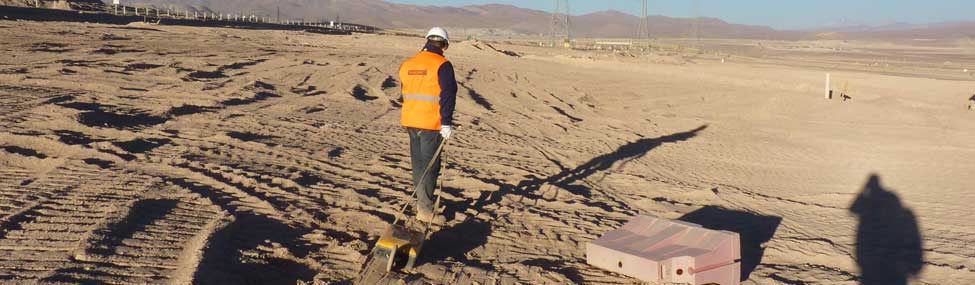
GPR is used for location and analysis of underground anomalies using electromagnetic pulse radiation.
more details>
GPR provides water depth and sub-bottom stratigraphy in freshwater lakes and rivers. Surveys can be carried out from small boats, rafts or even through the ice.
more details>
For convenience our customers we created stock in the Germany. It is possible to order our products by B.E.S.T Elektronik GmbH
more detailes>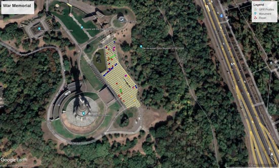

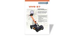
Download the product brochure with product specifications, features and main applications
more details
Download the product brochure with product specifications, features and main applications
more details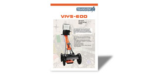
Download the product brochure with product specifications, features and main applications
more details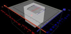
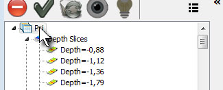
With a new feature of 3D visualization you can see all the project's items in 3D view. 3D interpolation can be built by any profile section in any project plane (Z,Y,Z). 3D image can be rotated in any direction.
more details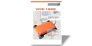
Download the product brochure with product specifications, features and main applications
more details office 307, 13 Yevhena Sverstyuka str. Kyiv 02002, Ukraine
 +380 44 2408594